1. Star Maps
Used since ancient times, star maps guided sailors during night journeys. In the 4th century BC, Greek astronomer Hipparchus created the first star catalog. The North Star (Polaris) was crucial for latitude calculations.

2. Astrolabe
Developed in Ancient Greece between 150-100 BC, the astrolabe was used by Arab astronomers from the 9th century. This ancient tool helped sailors determine latitude by measuring star heights, making it one of the oldest maritime navigation devices.

3. Compass
Invented in China in the 11th century, the compass revolutionized navigation by using a magnetic needle to point north, allowing sailors to determine direction in any condition.

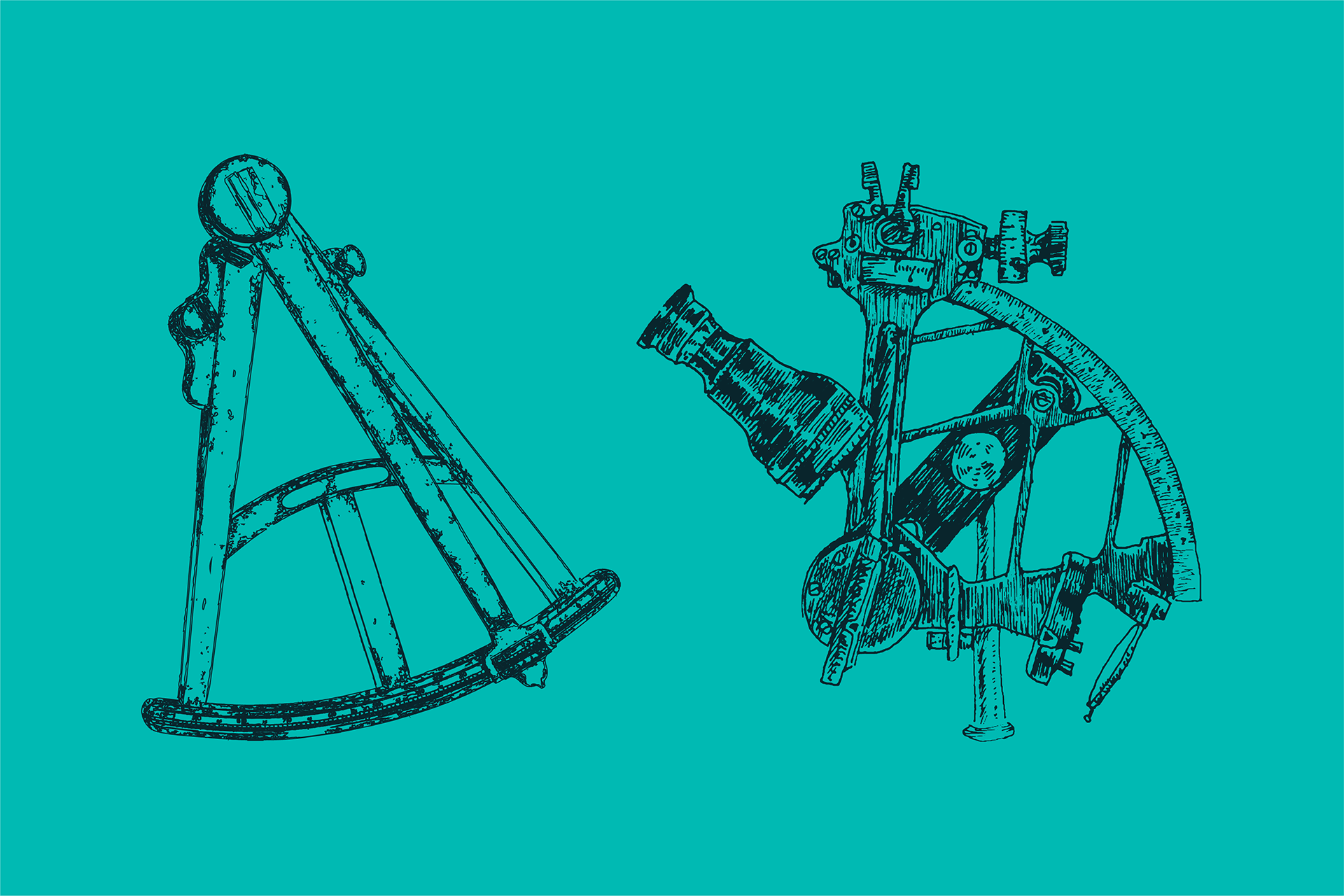
4. Octant and Sextant
Developed in the 1730s, the octant measured the height of the sun and stars for latitude. The sextant, improved in 1757, offered more precise measurements for latitude and longitude, becoming essential for modern navigation.

5. Gyrocompass
Introduced in the early 20th century, the gyrocompass provided more accurate direction-finding using Earth's rotation, surpassing magnetic compasses, and became a standard tool on modern ships.

6. GPS
Developed in the 1970s, the Global Positioning System (GPS) uses satellite signals to pinpoint a ship's location. Released for civilian use in the 1990s, GPS revolutionized maritime navigation and remains a standard tool today.

